The trips made by Stanley between 1874 and 1890 cover a vast geographical area, stretching from Boma (in the west) to Bagamoyo (in the east) and from Lake Tanganyika (in the south) to the Nile (in the north). These personal notebooks contain notes intended for writing the pieces he intended to publish as well as a number of sketches.
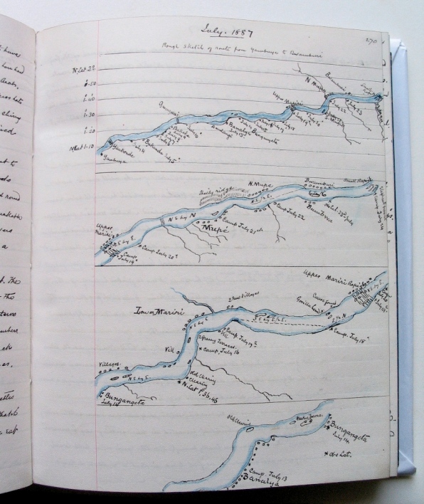
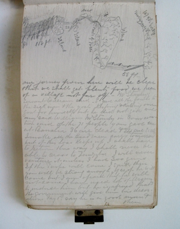
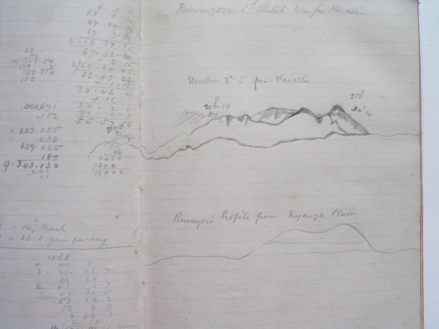
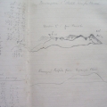
Stanley re-transcribed in his notebooks the geographical stages of his expeditions, the relief cartography, the course of the rivers, particular events and the condition of other members of the expedition, complete with details about local politics and remarks about the cultures he discovered.
It was thanks to Stanley, who had a real passion for geography, that Central Africa was able to be mapped out.
Publication « Stanley. Entre Couronne et Empire »
Publication « Africa in images, Stanley I presume ? »
Royal Museum for Central Africa